Saturday, October 10, 2026
Incoming
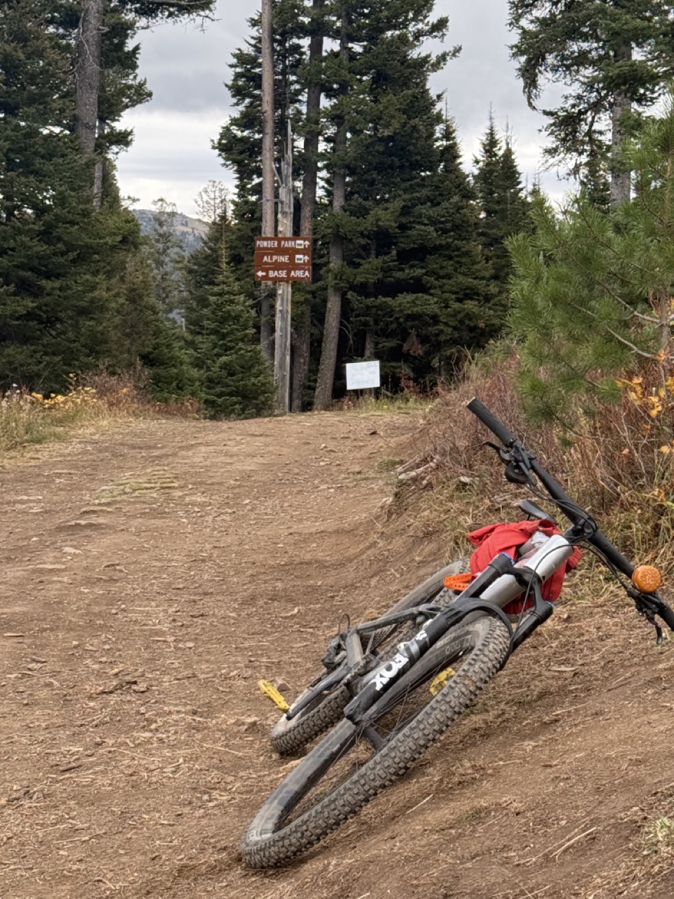
Hope you all were able to get outside the past few days with the great fall weather we've had! I was able to get in one last bike ride this afternoon (huge shoutout to SWMMBA, Crosscut, and Bridger for the awesome new trails up there!).
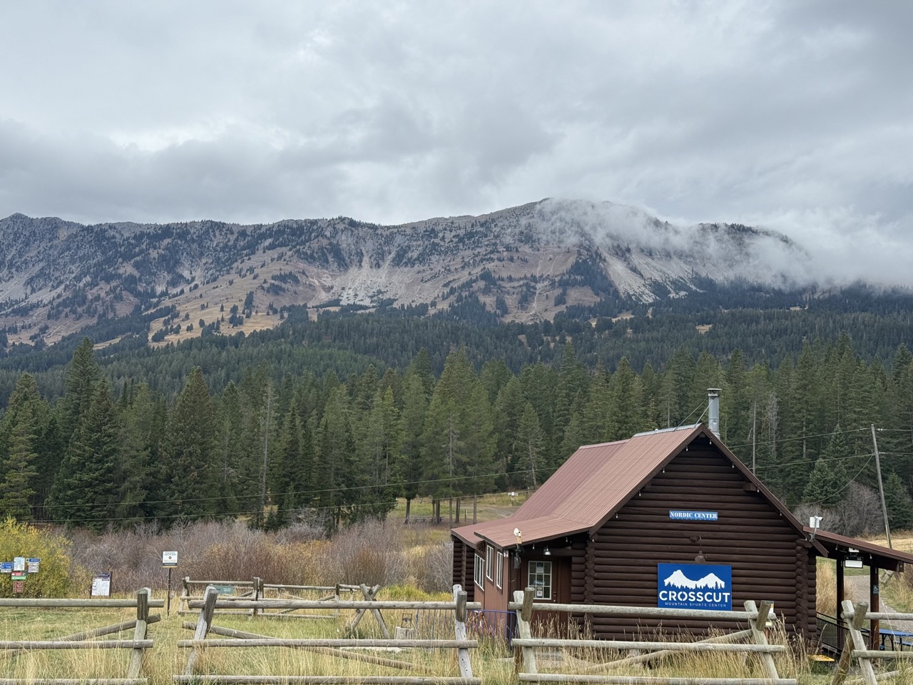
Hopefully this will all be covered in snow the next time we see it :)
Radar, temperatures and winds from this afternoon (the front's position is from 3 PM):
Currently a stalled frontal boundary is draped across SW Montana as two storm systems converge over the region: One from the west/northwest and the other, associated with Tropical Storm Rachel to the south. Precipitation should transition to snow at upper elevation sites overnight Saturday, and overall the forecast still looks to be on track, 6–12"+ above mid-mountain. The heaviest snow looks to fall Sunday afternoon through Monday morning. In Bozeman, expect 1–3"+ by Monday morning, with the heaviest snow Sunday PM into the overnight. There is still some uncertainty and a fairly strong gradient of moisture and precipitation, so there could be some big winners and losers. Do your snow dances!
The HRRR model's forecast of Rachel's moisture plume through Monday midday (star = Bridger Bowl):
Comments